A zoning table is a chart found in a land development plan that summarizes the various local zoning ordinance requirements of the project and is…
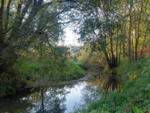
A riparian buffer is a zone designated on a land development plan that is located along a waterway and that is comprised of vegetation that…
Wetlands are ground areas that frequently stay inundated with water after rainfall events. These areas are usually wet and characterized by the presence of vegetation…
If you are wanting to do any kind of construction on your property that involves any new buildings or other impervious areas, your local municipality…
A grading permit is documentation required by a municipality that allows the moving of earth that would be required for the construction of a new…
A subdivision ordinance refers to the set of regulations established by a municipality related to the subdivision of land. Because a land subdivision often involves…
If you own a large piece of property, you might have wondered what it would take to subdivide that property. In other words, you might…
A topographic map can provide a large amount of valuable information if it is used properly. The following are six steps for how to properly…
There can be some confusion when you are talking to someone and you hear the terms “land development” and “construction” in the same conversation. Someone…
There is probably some confusion out there for some people regarding the difference between a civil engineer and an architect since both are professionals that…


